What is ShadeMap?
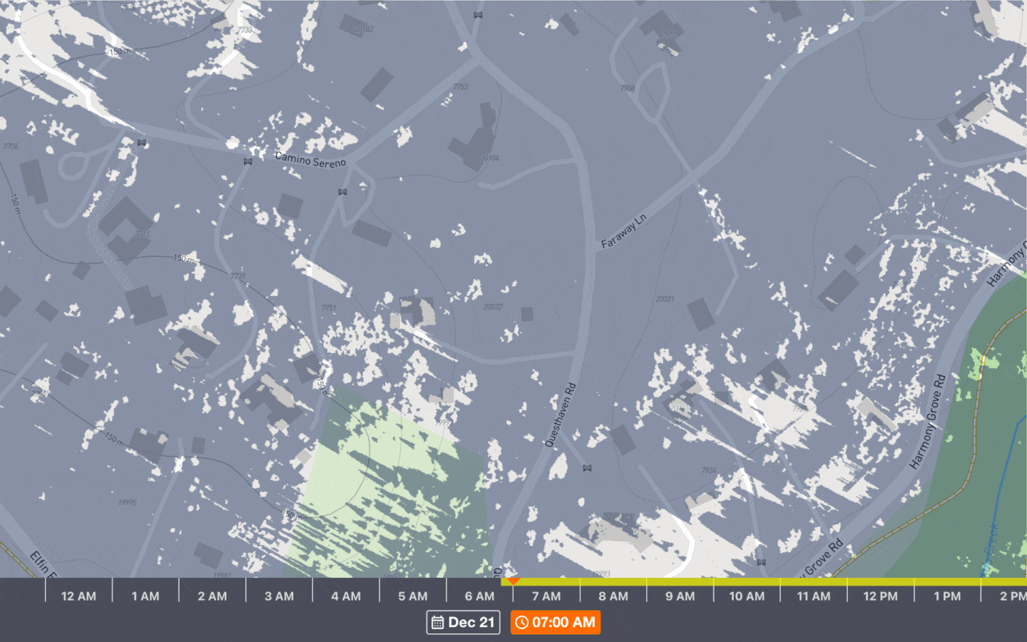
ShadeMap is a global simulation of mountain, building and tree shadows for any date and time. ShadeMap calculates shadow positions in realtime and displays them on a map.
ShadeMap can display how many hours of sun or shadow a specific location gets over the course of a day and even over the course of an entire year.
What can I use ShadeMap for?
Anything! I use ShadeMap to plan outdoor activites like rock climbing, skiing and mountaineering. My wife and I also used ShadeMap to find everyone shade for our summer backyard wedding. Below is a list of ideas from our users:
- Sun mapping for gardens, permaculture and landscaping
- Property and neighborhood assessment
- Solar potential assessment
- Construction impact assessment
- Photography
- Event planning
- Hunting and fishing
- Academic research in ecology and agriculture
- RV and campervan parking
- Street performance and walking tours
Do you have another use case? Let me know!
Do you have an app?
To add ShadeMap as an app on your phone:
- Open Safari and navigate to shademap.app
- Tap the Safari Share button (blue square with an arrow) at the bottom of the screen
- Scroll down and select "Add to Home Screen"
ShadeMap won't load or it's very laggy
ShadeMap relies heavily on the graphics processing unit (GPU) of your device. In general, all modern smartphones come with a GPU and have small screens which make them ideal for using ShadeMap.
On older computers, make sure your browser supports WebGL (test page) and reduce the size of the browser window to improve performance.
Shadows disappear when I zoom in
For optimal performance, ShadeMap only uses the data displayed in the viewport to calculate shadows. Mountains, trees and buildings beyond the borders of the map will not be shown. Zoom out if you want to include more data in your simulation.
How does ShadeMap work?
Given a map location and time of year, you can calculate the sun's position. ShadeMap traces a path from each map pixel towards the sun. If the path intersects a building, mountain or tree, the pixel will be in the shade. If the path does not intersect any objects, the map pixel will be in the sun.
Can I see how much sun a location receives during the day?
Yes. To see cumulative hours of direct sunlight for any date click on 'Hours in the sun' in the Layers menu. You can choose the date by clicking on date/time button at the bottom of the screen.
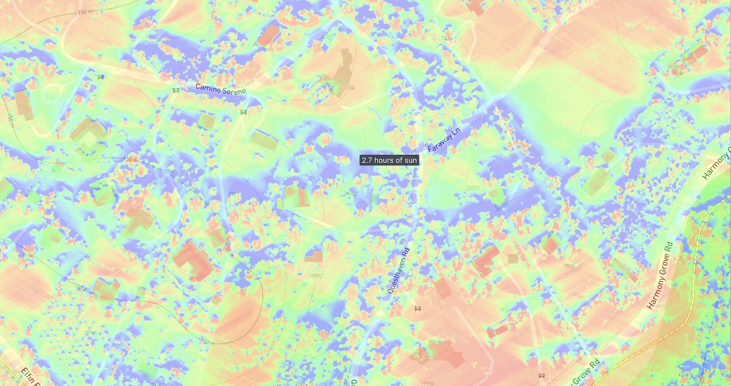
To see how much annual direct sunlight a location gets, choose 'Annual sunlight' from the Layers menu.
Where does the building data come from?
I am always seeking up-to-date data at low cost so the map can change periodically. Buildings missing height data are set to 3.1 meters (1 story) by default.
If you want exact heights and roof shapes, you can purchase Premium data which uses measurements gathered through LiDAR and photogammetry surveys.
Can I add my house to the map?
Yes. Use the drawing tool located in the upper right corner of the screen to add a shape to the map and set its height. More information in the video below.
Can I remove a tree or building?
Remove a tree or building by drawing a polygon on top of it and setting the height to 0. The shadows will update automatically.
In complicated terrain, shadows may persist even after setting the height to 0. Try using negative values to minimize the shadows. Decimals are allowed.
Why should I pay for premium data?
The shadows displayed by default are estimates gathered through indirect means like crowd sourcing and machine learning models. The default data gives a general idea of shadow distribution and sun direction, but errors in the data can vary by several meters.
Premium data is composed of precise measurements collected via LiDAR and photogammetry surveys. This means building layouts, roof, tree and building heights will be exact to within 30 centimeters. This is the most accurate shadow modeling data available.
If this data is available in your region, an Upgrade button will appear when you zoom into street level. Premium data is purchased by square kilometer.
I have my own LiDAR/photogammetry data
Drop or upload a GeoTIFF file containing elevation data onto the page to override the default data. The GeoTIFF must use EPSG:3857 (Web Mercator) projection. Height values must be in meters and use Float32 data type.
I see no tree shadows at noon / Some areas are permanently shaded
Try toggling Above canopy / Below canopy in the Settings.
What direction is the sun?
Toggle lines indicating the current direction of the sun, sunrise and sunset in the Settings menu.
Can I use this to sunmap my garden?
Yes, check out the video below
You haven't answered my question
Send your question using this contact form